

On Saturday morning the sun rose into a red-orange sky, echoing, perhaps, an old bit of nautical doggerel -- red sky in morning, sailor take warning. Combined with strident forecasts of a pending winter storm, the red sky seemed to predict the arrival of a significant weather front.
This item is available in full to subscribers.
To continue reading, you will need to either log in to your subscriber account, or purchase a new subscription.
If you are a current print subscriber, you can set up a free website account and connect your subscription to it by clicking here.
If you are a digital subscriber with an active, online-only subscription then you already have an account here. Just reset your password if you've not yet logged in to your account on this new site.
Otherwise, click here to view your options for subscribing.
Please log in to continue |
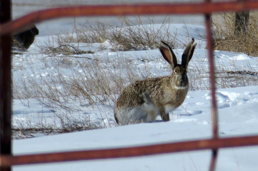
KIMBALL, Neb. – On Saturday morning the sun rose into a red-orange sky, echoing, perhaps, an old bit of nautical doggerel -- red sky in morning, sailor take warning. Combined with strident forecasts of a pending winter storm, the red sky seemed to predict the arrival of a significant weather front.
Saturday remained cloudy and mild, however, and precipitation in the form of a light freezing mist didn’t begin until about 4 a.m. on Sunday morning.
By 6 a.m. Sunday about an inch of snow had fallen and a northwest wind was beginning to pick up. By days end about six inches of snow had fallen, and a brisk wind had caused significant drifting in places. Wind and occasionally heavy snowfall combined to make travel difficult.
Across southeast Wyoming, parts of northeast Colorado, and the western Panhandle of Nebraska, enough snow fell to provide a few to several inches of ground cover, a welcome sight for many winter wheat producers. In many areas, however, the wind managed to scour parts of wheat fields bare.
Regional Forecast and Conditions
As of Tuesday morning (Jan. 23), the temperature at sunrise was 22 degrees under clear skies. Wind was northwest at 10 mph. The day was expected to be mostly sunny with daytime temperatures warming to near 25 degrees.
The weekend forecast calls for sunny skies and daytime temperatures rising into the mid-30’s. Overnight lows are forecast to fall into the mid-teens. Friday is expected to be breezy, however, winds are forecast to be milder on Saturday and Sunday. There is little if any chance of precipitation through the
weekend.
Forecasters expect warmer conditions and continued sunshine Monday through Wednesday, with daytime highs reaching into the lower 50’s. Overnight lows will likely fall into the teens. There is little chance of precipitation in the forecast during this period.
Daytime air temperatures warmed slightly across the region last week. At Kimball the Jan. 16-22 daytime high averaged 42.57, about 2.2 degrees warmer than the previous week. The weekly high temperature was 62 degrees on Jan. 18. Overnight lows were slightly warmer as well, averaging 19.14 degrees, about 2 degrees warmer than the previous week. The weekly low temperature was -4 degrees on Jan. 17. The weekly mean temperature was 30.32 degrees, just slightly cooler than the previous week, and about 3 degrees warmer than the January average of 26.9 degrees. The long-term average high and low temperatures at Kimball for January were 40.3 and 13.4, respectively.
Light-to-moderate snow fell across portions of the region last week, and while most locations saw some snow, only six of 13 Panhandle stations reported measurable precipitation during the Jan. 16-22 period. Quantities ranged from 0.42 inches of liquid moisture and 12.5 inches of snow at Harrison, to 0.04 and four-tenths at Chadron Municipal. Liquid equivalent precipitation averaged 0.10 inches for the Panhandle, while snowfall averaged 1.91inches. Last week’s averages were 0.8 and 1.21 inches respectively.
Soil temperatures warmed slightly across the Panhandle over the Jan. 16-22 period: (this week/last week/change): Alliance 31.0/31.9 (-0.9) degrees; Gordon 29.4/23.4 (+6.0) degrees; Mitchell 29.2/31.2 (+2.0) degrees; Scottsbluff 30.3/32.7 (+2.4); and Sidney 29.6/31.9
(+2.3) degrees.
Winds near Kimball averaged northwesterly and occasionally quite windy over the Jan. 16-22 period. Gusts for the week averaged 25.28 mph. High gust for the week was 37 mph on Jan. 21.
Jan. 26 Weather Almanac
Here’s an overview of Jan. 26 temperature and precipitation highs, lows, and averages over the preceding 124 years at Kimball. Data is taken from the High Plains Regional Climate Center (www.hprcc.unl.edu), where you can easily find and track data for your own particular location.
Last year (Jan. 26, 2017): Daily high temperature 25 degrees, overnight low 13 degrees, average temperature 19 degrees. Precipitation 0.00 inches, snowfall zero inches, snow depth one inch.
The warmest Jan. 26 on record was 64 degrees in 1951. The coolest Jan. 26 high temperature was 0 degrees in 1897. The coldest Jan. 26 overnight low was -20 degrees in 1902. The warmest Jan. 26 overnight low was 38 degrees in 1947. Over the years since 1893 the high temperature on Jan. 26 has averaged 40 degrees, the overnight low 15 degrees, the daily average 27.2 degrees, precipitation has averaged 0.00 inches, snowfall 0.1 inches, snow depth zero inches.
The highest Jan. 26 precipitation total was 0.50 inches liquid equivalent in 2009. The greatest snowfall was 5.7 inches in 1980. Greatest snow depth was 9.0 inches in 1949.
Snow has fallen on Jan. 26 at Kimball 27 times over the last 124 years, with quantities ranging from a trace to 5.7 inches.
U.S. Drought Monitor
(Jan. 16) High Plains: Much of the region did record precipitation in the form of both snow and rain during the last week, but amounts were generally less than half an inch. Some areas of east central Kansas did record close to an inch of
precipitation.
The most significant changes this week were due to a reanalysis of the data over the short term. From this analysis, the extreme drought over western South Dakota was improved to severe drought status. The impact designation also was changed from a combination of short- and long-term impacts to only long-term impacts.
Dryness in southern Kansas and eastern Colorado continued with an expansion of the severe drought conditions to the west, incorporating all of southwestern Kansas and extreme southeastern Colorado. Extreme drought conditions were also pushed more to the west in
southern Kansas.
West: The coastal regions of the Pacific Northwest as well as the northern Rocky Mountains again had the most precipitation.
Areas of southern Nevada and the desert regions of southern California and western Arizona finally recorded some precipitation. Areas of southern California that had experienced fires late last year were impacted by mudslides from the heavy rains that inundated the region.
Even with the precipitation in Oregon, the water year continues to be well below normal for precipitation, which allowed for the expansion of abnormally dry conditions in Oregon, western Idaho, and southern Washington. A new area of moderate drought was introduced from central Oregon to western Idaho. In Utah, the low snow and snow water equivalency values caused an expansion of severe drought in central Utah and moderate drought in northeastern Utah.
Abnormally dry conditions were pushed to include all of northern Utah and extreme southwestern Wyoming. In eastern New Mexico, severe drought conditions were expanded over the region.
National Summary: A significant weather system impacted the lower Mississippi Valley and pushed northeast into the Ohio River Valley and the Northeast. The active pattern over the Pacific Northwest and northern Rocky Mountains continued, bringing much-needed rain and snow to these regions.
Cooler than normal temperatures dominated the Plains region and the South, with areas of the northern Plains 15-20 degrees below normal. Warmer than normal conditions dominated the West, with areas of the Great Basin 10-15 degrees warmer than normal.
For more information on the U.S. Drought Monitor visit: http://droughtmonitor.unl.edu
U.S. Conditions
and Weather Report
(Jan. 17) Precipitation fell across areas of the western U.S., providing high-elevation snow in the Pacific Northwest and the northern Rockies, as well as boosting soil moisture in previously parched sections of southern California and the southern Great Basin.
Although most of the Southwest received some precipitation, mountain snowpack remained nearly non-existent, while spring and summer runoff prospects were bleak. Weekly temperatures averaged at least 10 degrees above normal across much of the interior West.
Farther east, dry conditions persisted or intensified across the southern High Plains, where poorly established and drought-stressed winter wheat was subjected to a return of warm weather and weekly temperatures as much as 10 degrees
above normal.
Meanwhile, patchy snow across the northern and central Plains helped to replenish wheat’s protective cover in advance of a late-week cold blast.
Bitterly cold conditions returned to the Midwest at week’s end, following several days of above-normal temperatures. In many Midwestern locations, significant snow preceded and accompanied the transition to colder weather.
Snow extended into the South on Jan. 12, when significant accumulations occurred as far south as the northern Mississippi Delta. Heavy rain, in excess of 2 inches, fell in the central Gulf Coast region. Late-week rain also totaled 2 inches or more in many locations across the middle and northern Atlantic States. The rain, combined with brief warmth and a lack of absorption by frozen soils, led to local flooding and ice jams.
Pounding rains struck California on Jan. 8-9, contributing to mudslides and debris flows in Montecito that left at least 20 people dead. California hillsides that were scorched and scarred by recent wildfires will remain especially vulnerable to such mudslides and rockslides during heavy rain events as the winter progresses.
The Jan. 23 report was
not available at press time.
Western U.S. Water Supply Report
La Niña gained control of North American weather patterns in autumn and early winter, helping to direct the polar jet stream and its attendant storms across the nation’s northern tier and leaving little moisture for California, the Great Basin, and the Southwest.
Except in the northern Rockies, warmth has often accompanied the La Niña-driven regime, reducing the percentage of precipitation that has fallen as snow in Northwestern States such Oregon. The Sierra Nevada snowpack contained an average of just 3 inches of moisture by mid-January 2018, less than one-quarter of normal for the time of year and barely one-tenth of the typical accumulation for a full season.
Snowpack and Precipitation
As of Jan. 15, most Western basins had subpar snowpack. The snowpack situation was especially dire in California, Nevada, and Oregon, as well as the Four Corners States. Nearly all basins in those states had a snowpack that was less than 50 percent of the mid-January average, and most basins in Arizona and New Mexico were below 25 percent. Meanwhile, near- to above-normal snowpack was largely limited to Montana and Wyoming, as well as northern and eastern sections of Idaho and Washington.
Season-to-date precipitation
(Oct. 1, 2017 – Jan. 15, 2018)
Precipitation has been slightly better than snowpack, owing to several “warm” storms producing more rain than snow. Still, precipitation was less than 50 percent of normal in many Southwestern basins, and less than 90 percent of normal in all of the West except Wyoming, Washington, Montana, and
northern Idaho.
Spring and Summer
Streamflow Forecasts
As of Jan. 1, projections for spring and summer streamflow were indicating the likelihood of near- or above-normal runoff only in the Pacific Northwest and the northern Rockies. In other parts of the Northwest, including much of Oregon and southern Idaho, a lack of snow has reduced runoff potential, despite a fairly active weather pattern.
Meanwhile, the Southwest has not yet received much winter precipitation, leading to early forecasts of abysmal spring and summer runoff—possibly less than 25 percent of the normal volume in some
river basins.
Reservoir Storage
On Jan. 1, reservoir storage as a percent of average for the date was substantially below average in New Mexico, and slightly below average in Arizona and Washington.
Cumulative storage for this time of year was above average in all other Western States, including California. Despite a dry start to the winter wet season from California to the Four Corners States, Western storage continues to reflect the bounteous runoff in the spring and summer of 2017.
For more information visit the National Water and Climate Center homepage at: http://www.wcc.nrcs.usda.gov
USDA Weekly Weather
and Crop Reports
Weekly crop progress reports have ended for the growing season. Monthly reports will be issued during the first week of January, February, and March. Next year’s weekly reports will begin the first week of April 2018.


